
Your own guide
in your pocket
Offline trekking guides for the Himalaya
 Download on the App Store. On the App Store from January 2027
On the App Store from January 2027Everest in January · Annapurna and Manaslu in February
Offline
Works where
the signal ends
Maps, routes and every village are already on your phone.
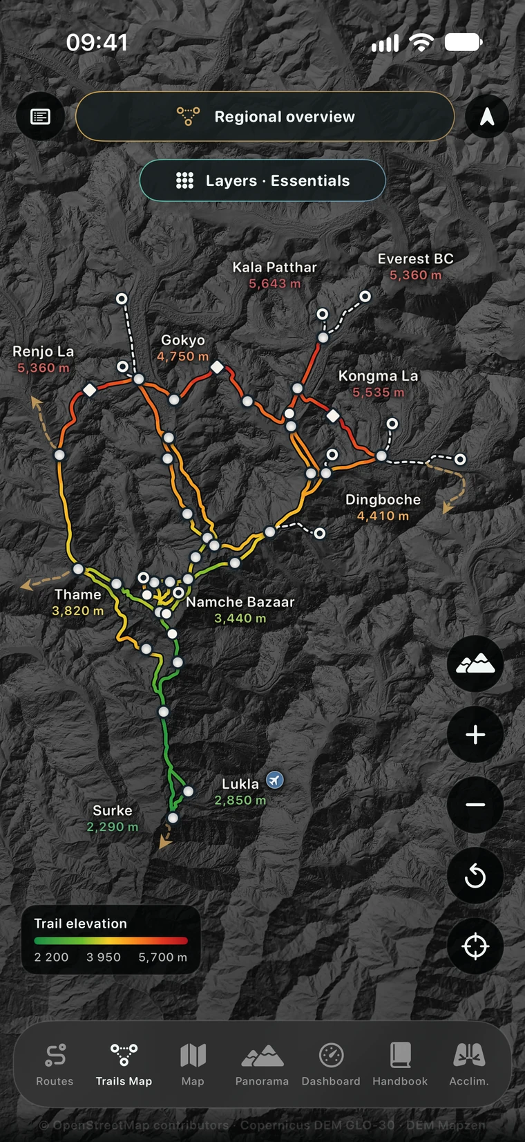
Trails Map
Always know
how long to go
Altitude and walking time for every stretch, both ways.
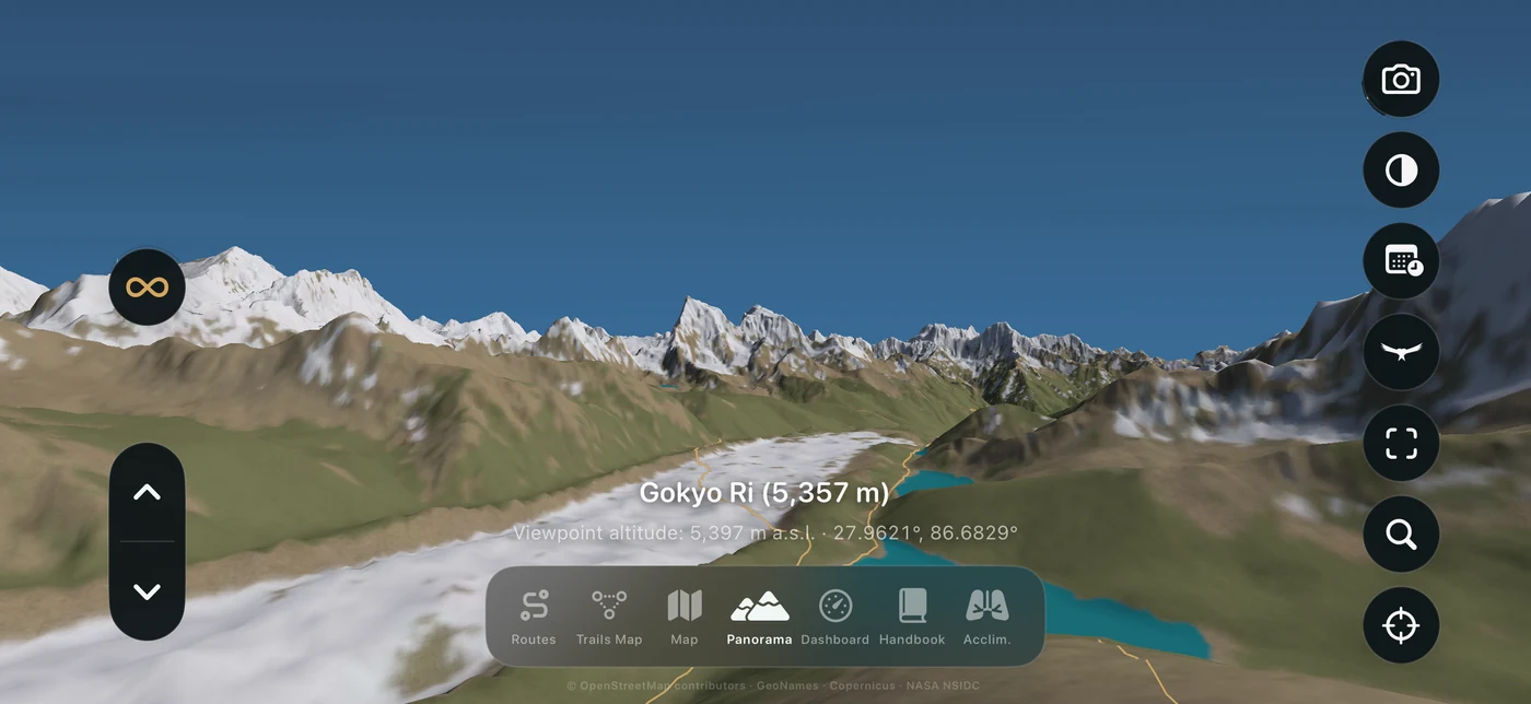
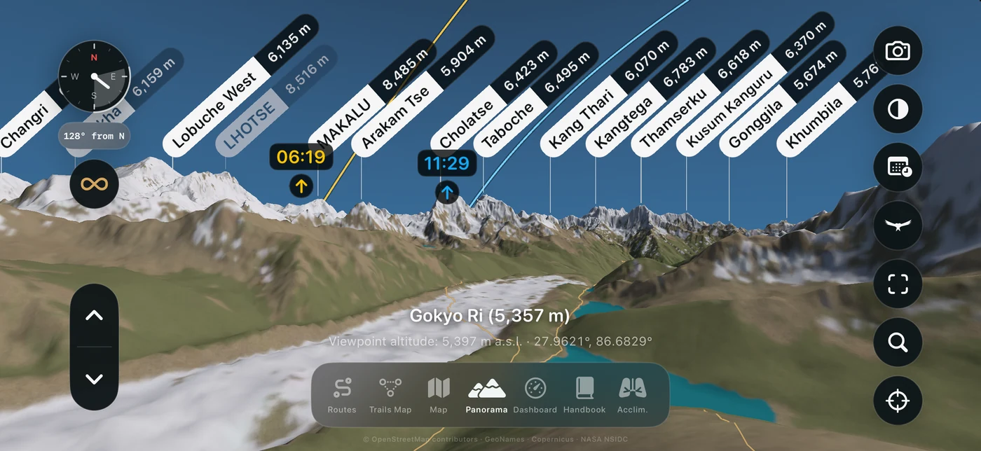
Panorama
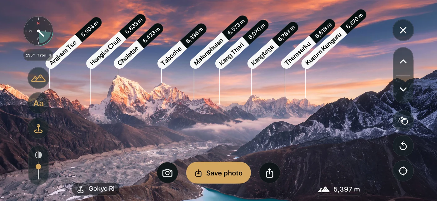
Which peak
is that?
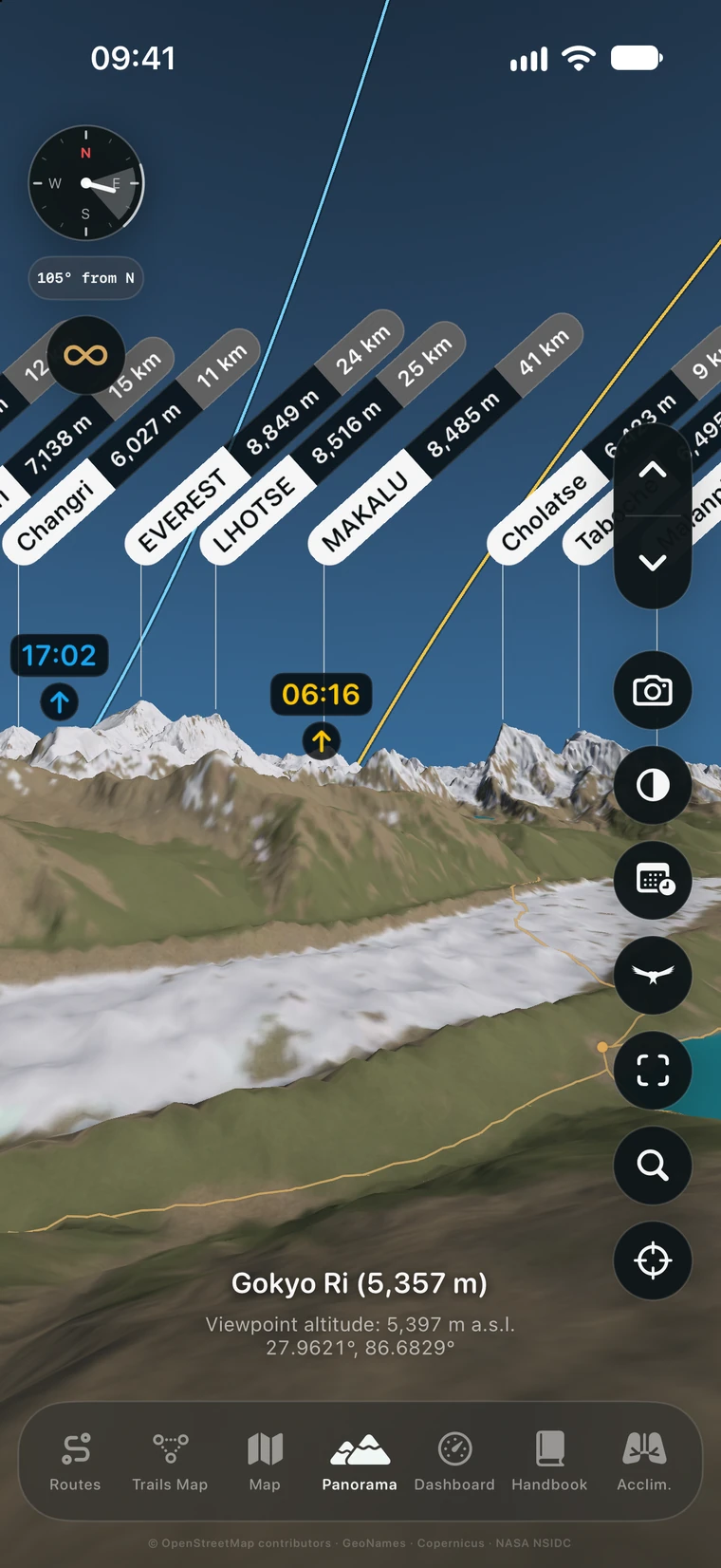
Raise your phone to see each peak’s name and height.
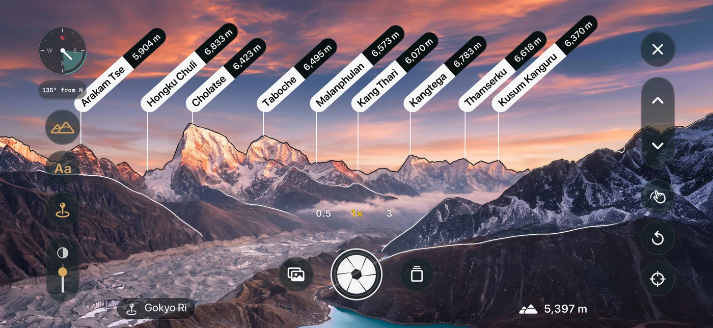
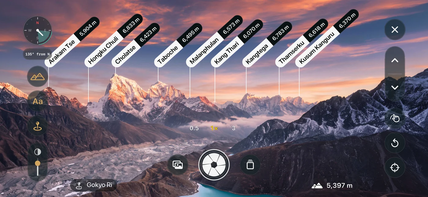
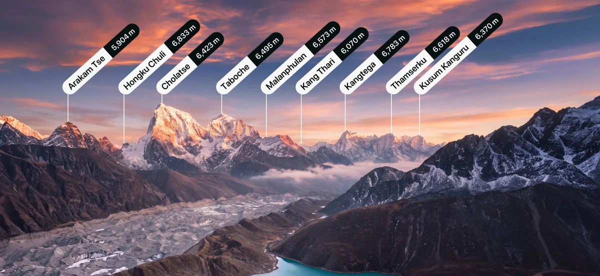
Camera
Peak names, right in the shot
Point the camera at the ridge, keep just the names and take the shot.
Share
Show it to the ones waiting at home
The shot with every peak named, sent in one tap.
Panorama
Every peak, labelled
Names and heights of the peaks in view, a compass, and the path of the sun and moon. Works in flight mode.
January 2027
Everest comes first, then four more regions
LANGTANGTREKGUIDE
KANCHENJUNGATREKGUIDE
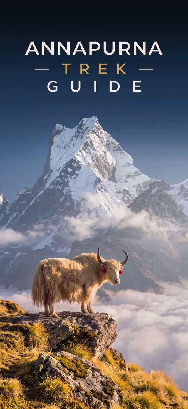
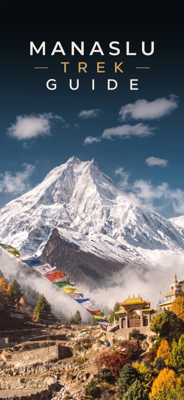
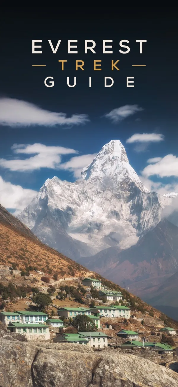
- January 2027 — Everest
- February 2027 — Annapurna and Manaslu
- September 2027 — Langtang and Kanchenjunga
Speaks your language
Ten languages, all of it translated: the interface, every place description, every hint.
- English
- Español
- Français
- Deutsch
- Українська
- Русский
- עברית
- 한국어
- 日本語
- नेपाली
Seven sections in one app
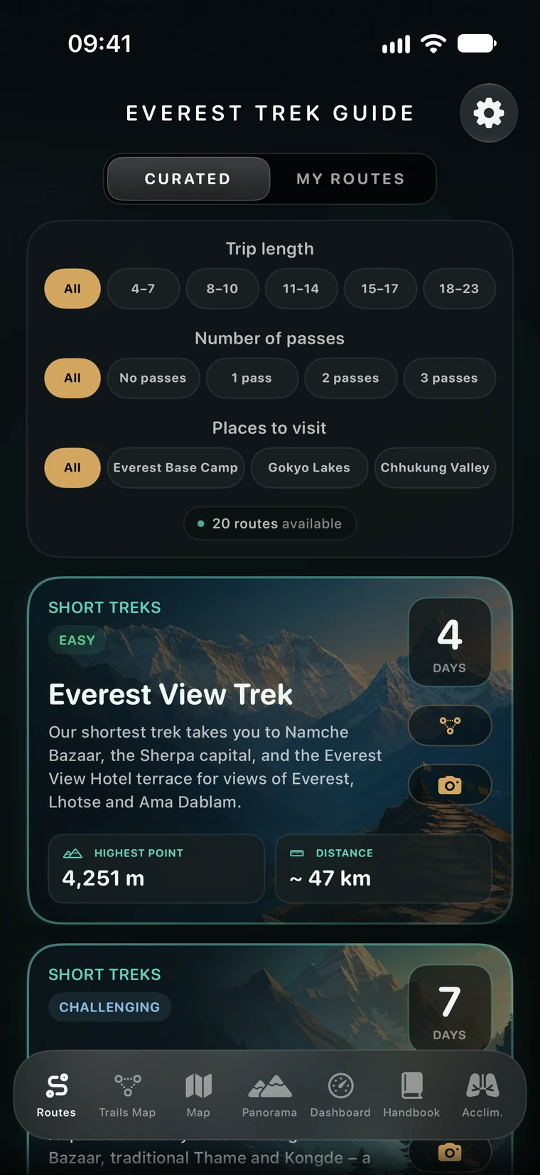
Routes
20 Khumbu routes, each with a day-by-day plan and an elevation profile.
Trails Map
Every trail over the relief, with place cards and walking times between them.
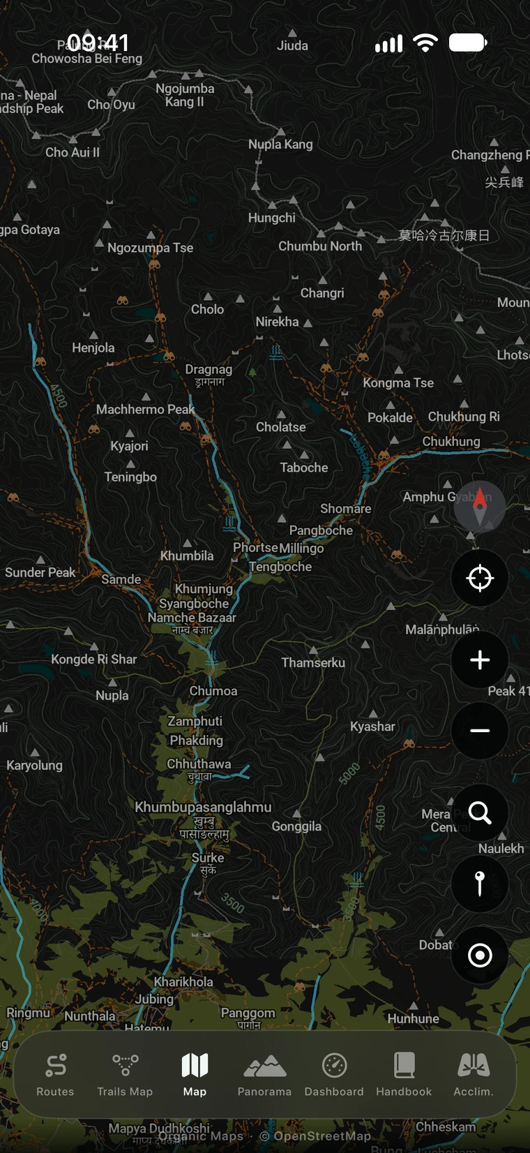
Map
An offline map with contours, search and walking directions, no signal needed.
Panorama
Point your phone at the ridge and the app names each of 289 peaks.
Dashboard
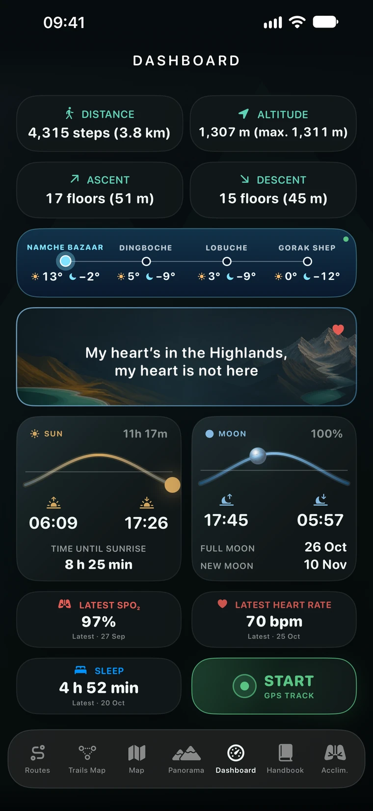
Oxygen, heart rate, sleep, distance and ascent on one screen.
Handbook
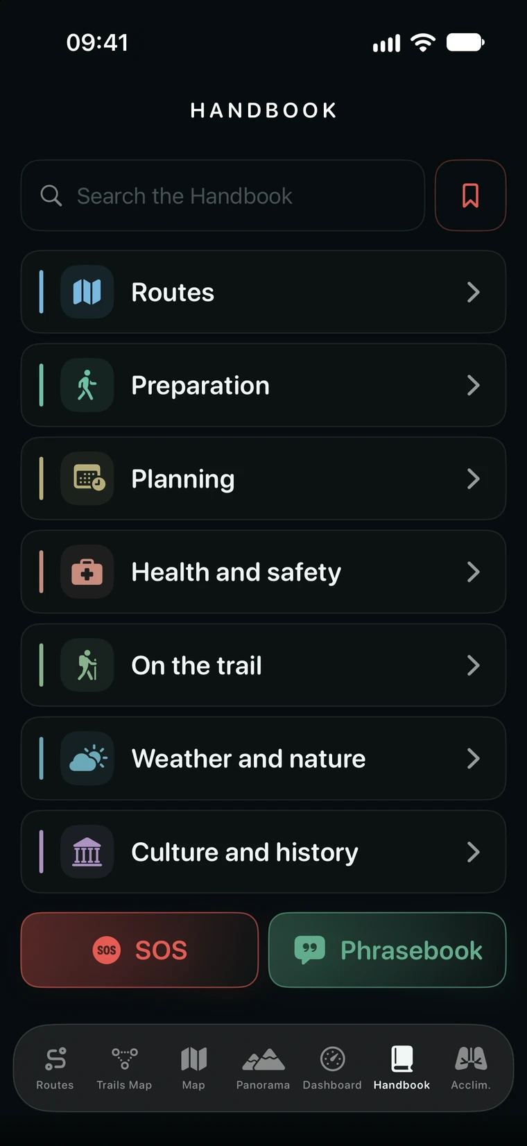
83 articles, a phrasebook with spoken Nepali and an SOS card.
Acclimatisation
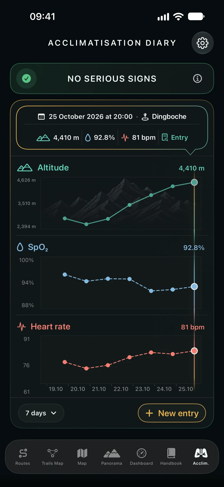
An acclimatisation diary built on your Apple Health data.

Nepal’s five great trekking regions
An app for each, from Annapurna in the west to Kanchenjunga in the east.
Annapurna
Annapurna Conservation Area
Annapurna Trek Guide
Manaslu
Manaslu Conservation Area
Manaslu Trek Guide
Langtang
Langtang National Park
Langtang Trek Guide
Everest
Sagarmatha National Park
Everest Trek Guide
Kanchenjunga
Kanchenjunga Conservation Area
Kanchenjunga Trek Guide
Copernicus DEM © DLR / Airbus · Contains modified Copernicus Sentinel data 2022–2024 · NASA Blue Marble · © OpenStreetMap contributors · Natural Earth
Made for every iPhone and iPad
From iPhone SE to the foldable iPhone Duo and iPad Pro, every screen of the app is laid out for the device in your hands. iOS 17 or later
Outlines of every device Everest Trek Guide is made for: iPhone SE, iPhone mini, iPhone, iPhone Pro, iPhone Air, iPhone Pro Max, iPhone Duo, iPad mini, iPad, iPad Air 11″ and 13″, iPad Pro 11″ and 13″.
- Everest Base Camp
- ABC Trek
- Annapurna Circuit
- Manaslu Circuit
- Gokyo Lakes
- Langtang Valley
- Poon Hill
- Mardi Himal
- Three Passes
- Island Peak
- Gosainkunda
- Helambu
- Tsum Valley
- Nar Phu
- Kanchenjunga
- Khopra
- Kongde
- Ama Dablam
- Tilicho
From the classics to the wildest trails
The treks everyone knows and the ones only a few have walked.
Be first on the trail
We’ll email you the day the app reaches the App Store.
Download on the App Store. Coming January 2027